


The Donner Party and Map Skills
 Launch the media gallery 1 player
The fourth grade just completed a cross-curricular unit over the Donner Party and Map Skills. In Reading we read the book "Donner Party: A Diary of a Survivor" by Todd Olson. In this book there was a map of their journey from Independence, Missouri to California. We used this map to help us know where they were on their journey. While we read the book we learned how to preview a book and why it is important to preview a book. While we read we also made predictions about what was going to happen next and asked questions about the story. This helped us think about the story and kept us wanting to read more and more. While we read this book we also learned about plot. With plot you start off with a problem at the beginning of the story. As you read you hit roadblocks that keep the problem from getting solved. Then you hit a highpoint in the story where the problem is almost solved, and finally you have your solution when your problem has been solved. In our Reading Reference Folders we have a plot chart that we filled out while we read the book to keep track of their problem, roadblocks, highpoint, and solution. Through this book the students learned about the struggles of the Donner party from the eastern part of the United States to California. Many were able to connect with other stories or movies they have seen about pioneers going west.
 Launch the media gallery 3 player
With the Social Studies part of the unit we learned about map features and why it is important to have these on a map and to know their purpose. We discussed together how the Donner Party in the 1840s probably didn't have a reliable map with the important features on it. I showed them an actual map that James Reed used for their journey and they were surprised by how lacking it was of important map features. They wondered how in the world they ever made it to California without getting totally lost!
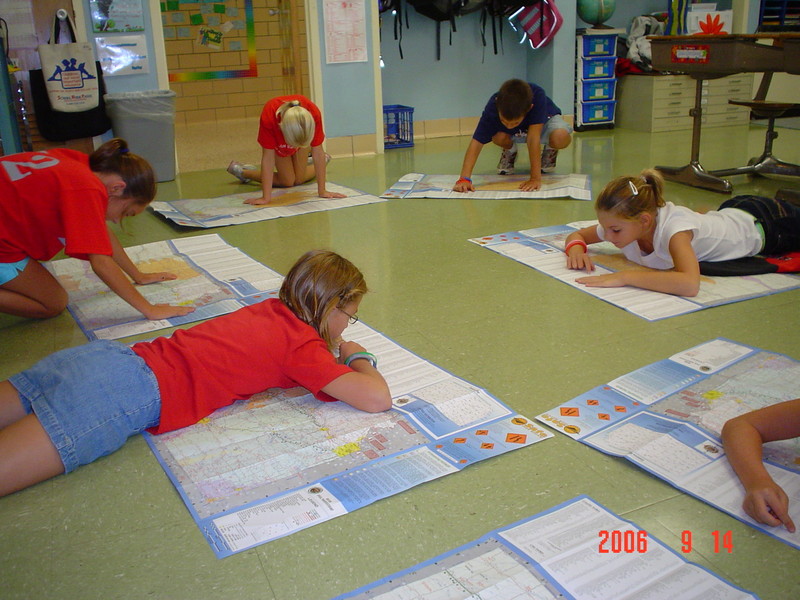
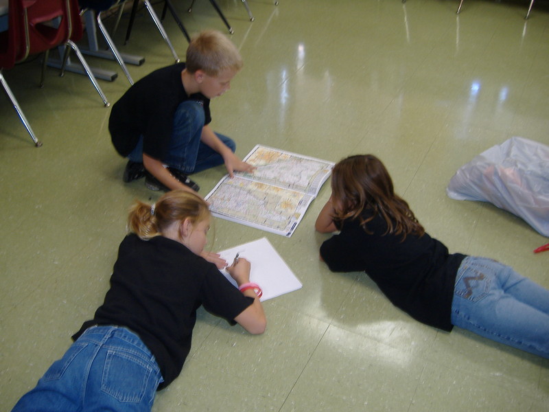
One day each student was given a Kansas Road Map and they had to use their new map skills to locate different things on the map. On another day we had three different centers set up that had three different types of maps. With each map they made a list of things that they noticed. Using these lists they filled out a three circle Venn Diagram that compared and contrasted the three different maps using the computer program Inspiration. They also used their computers to fill out a two circle Venn Diagrams using Inspiration to compare and contrast maps and globes.
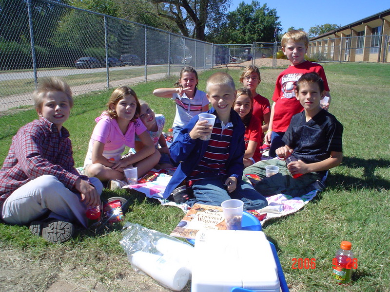
 Launch the media gallery 2 player
To wrap up our unit the students made a map of their own that included the important map features on it. Some students created a map that shows how to get to their home from school while others drew a map that you could use to find a buried treasure in their yard. We also had a fun expedition day. I created two different maps of the school yard. One was drawn similar to a map that they might have had in the 1840s while the other map had all the important map features on it. They had to follow the horrible map first and find all the flags located randomly around the school yard. They all agreed that it was practically worthless and really hard to follow. With the second map, they all agreed it was easier to use and they knew exactly what they were suppose to be doing and where they needed to go. At the end of the expedition we had trail mix, crackers, and Gatorade while we discussed the expedition and I also shared a book about pioneer life. This was a fun and enjoyable unit for the students plus tons of learning taking place!